Mobile Mapping System (MMS)
Mobile Mapping System (MMS)
Most of the world has already been built, but it is still poorly documented. Mobile 3D imaging provides understanding not only what you want to change but also to make. MMS, or Mobile Mapping System, also known MLS – Mobile Laser Scanning, is a system created for collecting full spatial information about roads, buildings, tunnels, bridges, flood embankments, railways, so about all objects of our surroundings. Data provided by the MMS system is a valuable source of information not only for municipal governments for dynamic space management but also for local governments, environmental departments, crisis centres, planners and spatial development departments and many other management centres. MMS measurements are a good alternative to traditional measurements.
Advantages of MMS measurements:
-
INDEPENDENCE FROM SEASON YEAR AND ONE
-
NON-INVASIVE MEASUREMENT
The flexibility of work. No need to suspend traffic during measurements with minimal interference in its flow. -
HIGH ACCURACY
The accuracy of MMS compared to traditional geodetic measurements, oscillating at 10mm for Z coordinate and 30mm for XY in absolute reference systems . This is sufficient for planning purposes, or for the creation of maps for design purposes. -
THE SPEED OF DATA COLLECTION
Fast collection of huge amount of data and their development. Twice the faster process compared to field measurements
or aviation studies. -
AUTOMATION
Automation of data collection and postprocessing.
ROAD REGISTRY
The advantage of road registry madewith mobile MMS systems is primarily the lack of having to stop traffic with minimal interference in its flow. We carry out both road and forest registry. The accuracy of MMS compared to traditional geodetic measurements oscillate at the level of 10cm.
The MMS method allows to obtain objects with the following level of detail : vertical and horizontal road signs, street lights, intersections, telecommunications poles, electric poles, kilometer posts, hydrants, manholes, squares, curbs, types of pavements, lighting, information points, trenches, bridges, culverts, railings, snowfields and many more.
DYNAMIC MANAGEMENT OF URBAN SPACE
For us, urban planning means searching for spatial order and harmony. We can clearly see the growing importance of aesthetics in the approach to the reality that surrounds us. More and more often we like how the surrounding space looks not only tidy, but it is also designed with the head. This is why the work of many people goes hand in hand. And here also our activity coincides.
What can we offer?
- Inventory measurements of road, tram and railway infrastructure,
- Implementation of road registry,
- Support for construction investments
- Monitoring of the condition of road surfaces (deformations, ruts),
- Measurementof snow accumulation on roads and in a road lane
- Monitoring of advertising billboards in the city
- Monitoring of urban greenery
- Telecommunications network management– analysis of the deployment of mobile network transmitters
- Inventory of power lines
- Remote monitoring of heat losses in buildings (cost-competitive method in relation to traditional methods)
- Data for car navigation systems
- City lighting monitoring (estimation of light intensity)
- 3D building models
3D CITY
Virtual reality gives us many opportunities to represent the space around us in the form of a digital world. This is the extended reality. It is a synergy of geospatial data, information, analyzes and photogrammetric tools and IT. Our offer is a response to the growing need to conduct analyzes based on additional spatial information. Virtual walks or flights over the city are a great form of presenting the digital environment. Virtual reality is an ideal basis for managing the urban space for planners, investors, consultants, specialists, promotion departments, PR (Public Relations), tourists and many others.
The CityGML LoD (Level of Detail) scale is connected with the level of detail of building models and varies depending on the geometrical complexity, accuracy and completeness of 3D modelled objects. We make models with a range of detail from Lo0 to Lo3:
-
City GML Lo0 -NMT covered with an orthophotomap – 2.5 D dimensional presentation (2D + H)
-
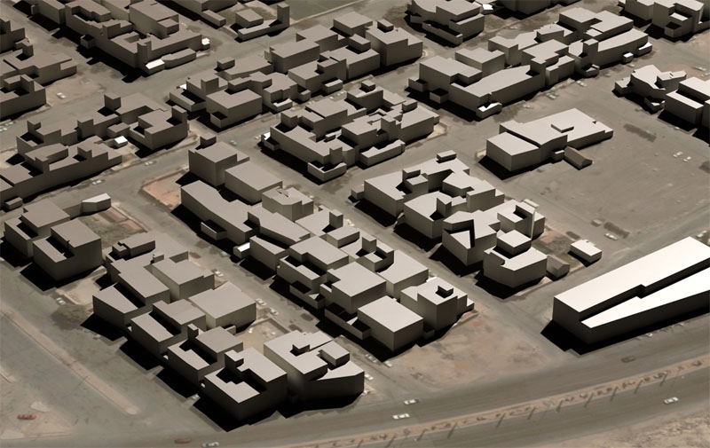
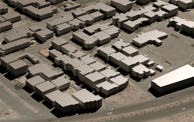
City GML Lo1 – Simple solids with flat roofs (block model)
-
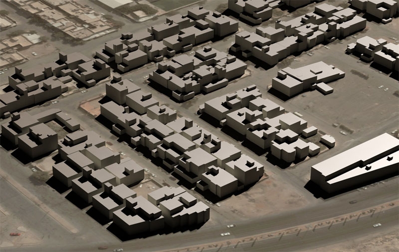
City GML Lo2 -Textured model with real types of roofs
-
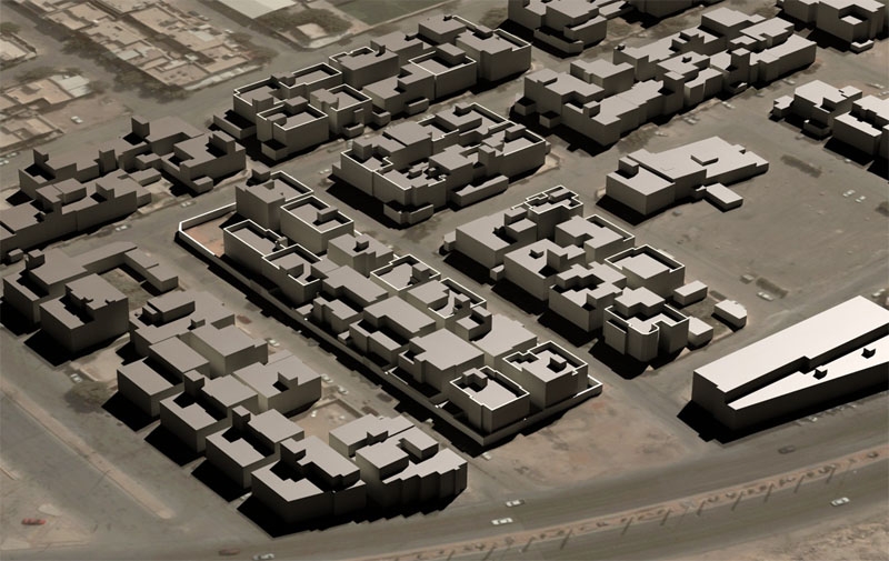
City GML Lo3 – A model with a faithfully devised façade, all elements separated by a size larger than 0.5 m, high-resolution textures, exact shape and type of the roof
THERMAL MAPS
Thermal photos are an irreplaceable source of information about objects with elevated temperature. The final product is a map showing the amount of heat released by these objects. Such scientific descriptions make sense using only high-resolution thermal imaging cameras. Depending on the applications, different technological approaches are used: from a manual thermal camera, through mobile MMS systems, to aerial technologies. In cooperation with industry companies, we carry out a full range of studies.
Practical applications of thermal photos:
- Registration of heat losses in buildings,
- Environmental threats,
- Monitoring of dangerous waste landfills such as the discharge of hazardous sewage into rivers,
- Detection of faults on power networks,
- Detection of failures in installations for example – leakage of water or gas pipelines.
BIM (Building Information Modelling)
Design and management techniques of buildings are a relatively new approach in the construction market, especially in Poland. Bearing in mind the growing requirements for the construction sector, the information modeling philosophy about buildings has been implemented as Building Information Modeling. Increasing interest in this subject in the world can be observed, therefore fast standardization is inevitable in the near future. In addition, Poland, like the other EU countries, faces the prospect of implementing the EU directive of January 15, 2014, regarding the requirement to use BIM in the public procurement process in national legislation. Our company, using mobile technology and indoor mapping, offers a full range of data about buildings.
Data for BIM that we can provide:
- Point cloud,
- Textured models of 3D buildings,
- Floor plans, stairs, elevations and 2D sections in the
CAD environment, - Models of mechanical, electrical and sanitary infrastructure (MEP – Mechanical Electrical Plumbing).
Visit our profile at Google+
Add us to favorites and keep to date with the last news


