Architecture
Architecture
The laser scanning method is quite well established in architecture. This is due to the fact that architecture is a rewarding area to present this technology at its loveliest. Architectural surveys require a high level of detail and precision in representation of the surfaces of objects, which is certainly provided by laser scanning. Engineers or builders are aware of this fact and in the same way our aim is to tighten cooperation in providing spatial information to architects and designers.
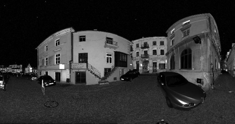
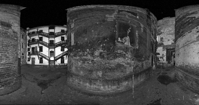
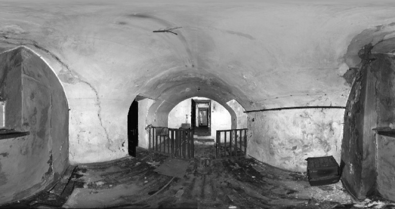
Point cloud visualization of an old tenement building (Olejna St., Lublin)
Scanning applications in architecture:
- Architectural plans and designs, building facades, cross sections
- 3D building modeling
- Surveys of cultural heritage buildings
- Civil engineering
- Documentation of construction progress Deformation analysis of structures (Read more)
- Review of a planned construction project (e.g. to be carried out in a property) – investigation of utility conflicts between existing and planned infrastructure
- Virtual excursions and flights to various sites
- Survey of buildings, their interior and details
- Survey of palace and park complexes
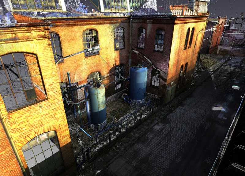
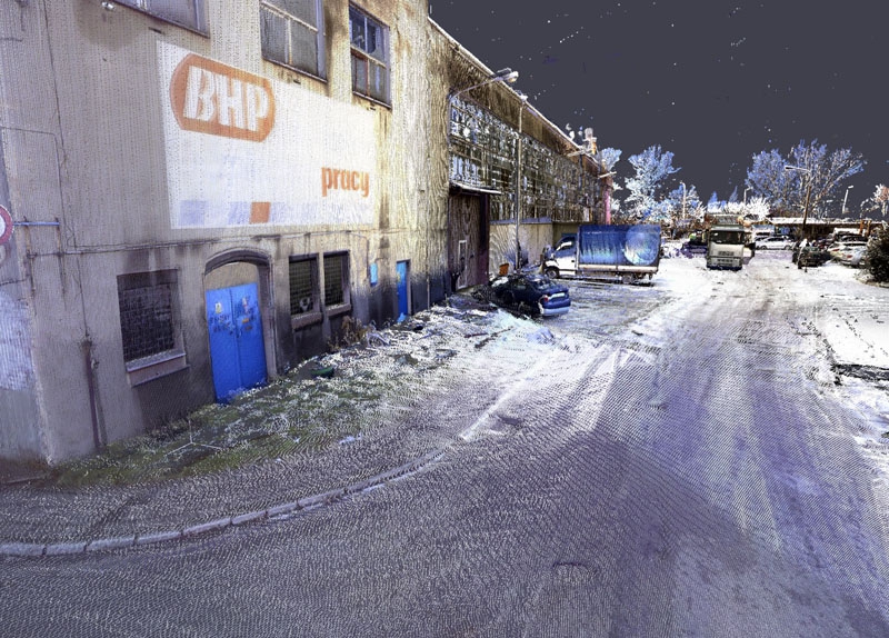
Kofama Koźle S.A. Factory
Location of the project: KOFAMA Koźle S.A., Kędzierzyn-Koźle
Purpose of the project: 3D survey of the plant’s production halls, survey of the overhead crane tracks for the installation of new overhead cranes, precision placement of new machines
Measuring equipment: Z+F Imager 5010 laser scanner with a M-Cam camera and Faro Focus X330 laser scanner, Sokkia NET05AX total station with 3-DIM Observer software, Sokkia SDL1X digital level
Measurement time: 1 month
Software used: ASCAN, Z+F LaserControl, FaroScene, Bentley Microstation
Processing time: 2 months
Output: 3D point cloud, orthoimages of facades, setting-out plans, surveying plans, floor altitude
Tenement building in the Lublin Old Town
Location of the project: Lublin, 7 Olejna St.
Purpose of the project: 3d survey of a historic tenement building
Measuring equipment: Z+F Imager 5010 laser scanner, Zeiss Ni 020A optical level
Measurement time: 5 days
Software used: ASCAN, Z+F LaserControl, C-Geo
Processing time: 14 days
Output: Leveled 3d cloud, map for design purposes
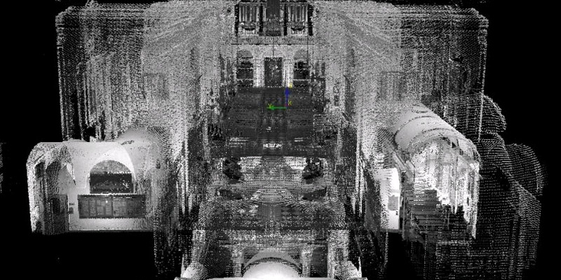
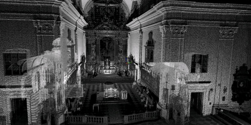
Scanning of the Church of the Holy Cross in Warsaw
Location of the project: Church of the Holy Cross in Krakowskie Przedmieście Street in Warsaw
Purpose of the project: Spatial survey of the external and internal facade to calculate the surface area to be renovated
Measuring equipment: Z+F 5006 laser scanner, Leica TCRP 1202 total station
Measurement time: 3 days, with 6 hours each day
Software used: Z+F LaserControl, ASCAN
Processing time: 2 months
Output: 3D point cloud, cross sections of the nave and aisles, horizontal projections (upper church, lower church)
Visit our profile at Google+
Add us to favorites and keep to date with the last news

