Indoor mapping
Indoor mapping
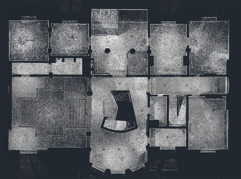
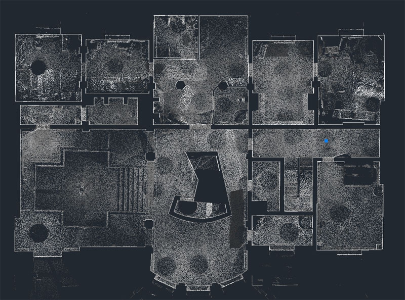
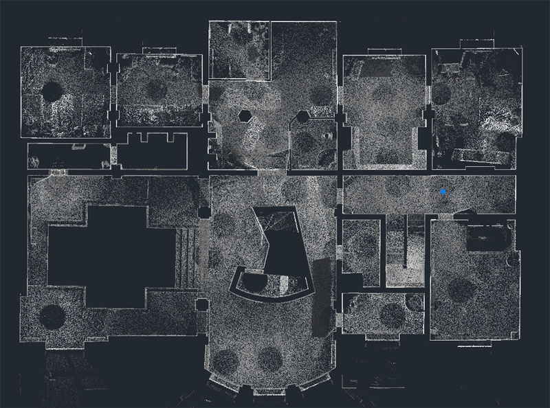
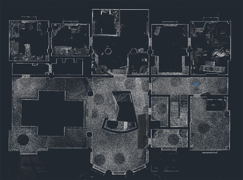
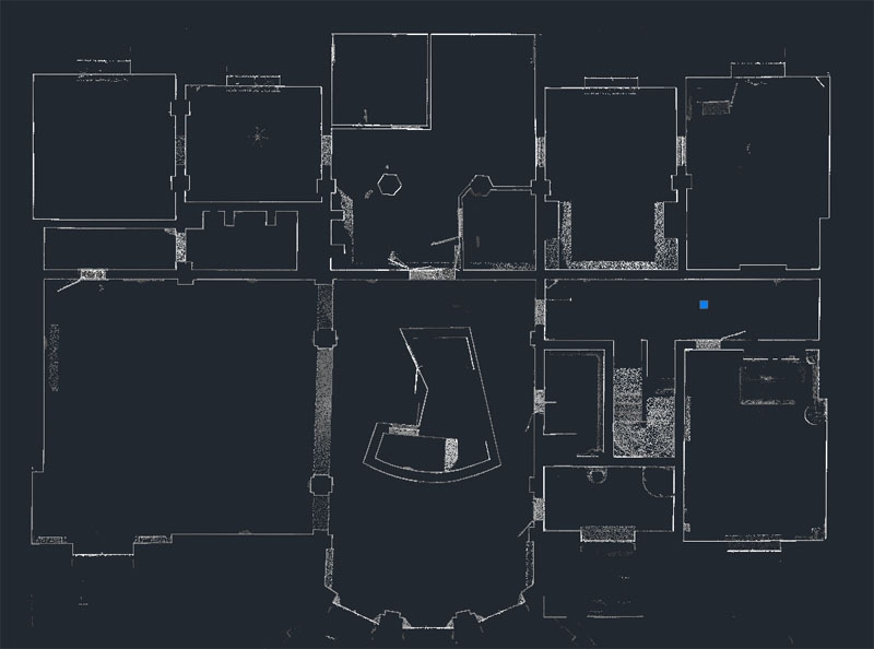
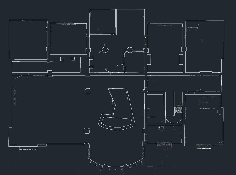
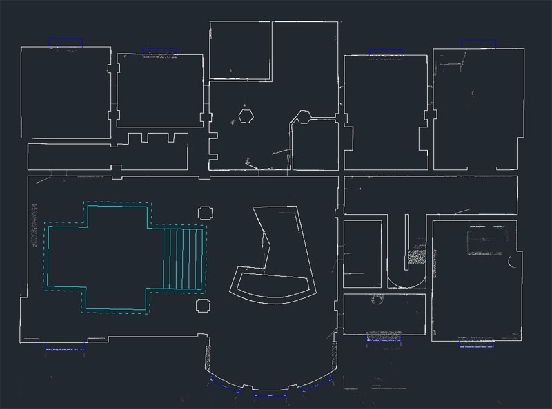
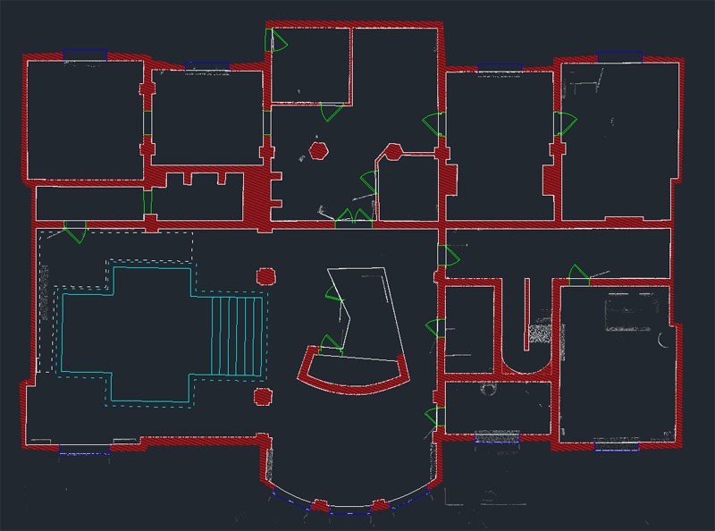
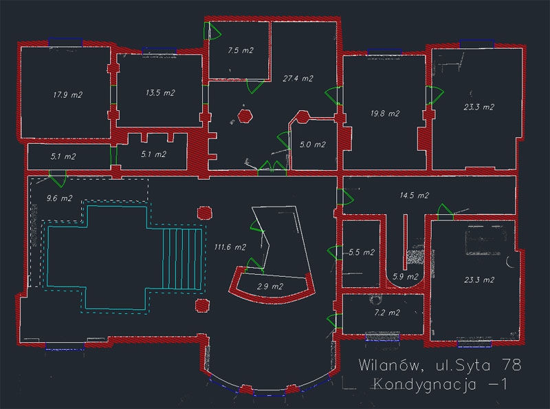
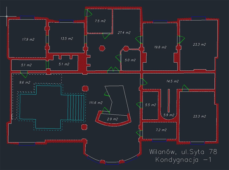
The term Indoor Mapping appears in our heads more and more often and this term relates to maps of building interiors. It is a new trend in mapping that has already developed in the world, but in Poland it is still in its infancy. Imagine that you have the navigation functionality in your smartphone while being in a large facility such as shopping malls, airports, hotels, universities, schools, museums, hospitals and many other. It is now out of question that you lose your child in a shopping mall, of course provided that your child has an appropriate application in his/her mobile phone. However, for it to work fully, not only investors willing to create such maps are necessary, but in the first place engineers who will provide appropriate data. And here is our offer where we propose to collect complete geospatial data. During the first stage, laser scanning is an irreplaceable source. At the post-processing stage, on the other hand, we provide complete data processing in the CAD environment.
What can we offer?
- Point cloud
- 2D building design
- CAD-based design, including floor, staircase, façade and 2D section plans.
- Textured models of solids
- Textured models of objects
- Building cubage measurements
Visit our profile at Google+
Add us to favorites and keep to date with the last news

