Personal Mobile System (PMS)
Personal Mobile System (PMS)
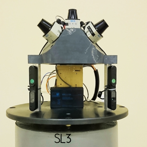
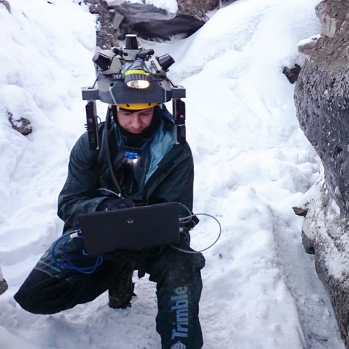
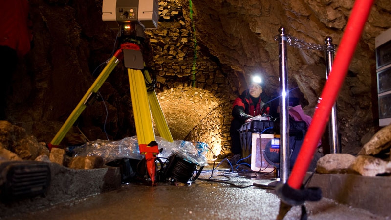
Personal Mobile System (PMS) – an innovative solution in the context of using laser scanning technology. It is a multisensory device that the scanning platform is the human body (the individual sensors are mounted on the helmet and human body). The main advantage of the system is the possibility of measurement at places with inaccessible GPS signal range.
PSM is mainly used for:
- quick inventory (eg indoor mapping),
- sgeometrically complex environments (eg caves),),
- mapping of dynamically changing objects (eg underground mining excavations).
The PSM consists of:
- vision systems (cameras)
- measuring systems (scanners)
- MEMS inertial unit systems (Micro-Electro-Mechanical Systems)
- a set of control devices and system controls
Advantages of PSM technology:
- MEASUREMENT EFFICIENCY
The measurement is limited only to the passage of a man around the object.
- MOBILITY
Light and easy to transport measuring system.
- HIGH DYNAMICS
The ability to give a complex trajectory through head movements, and thus the availability of inaccessible places of objects. - CENTIMETER ACCURACY
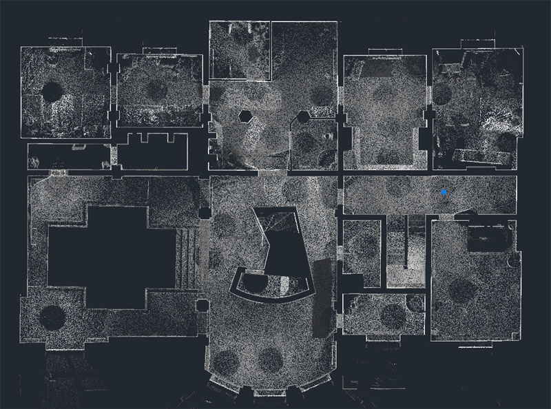
Indoor Mapping
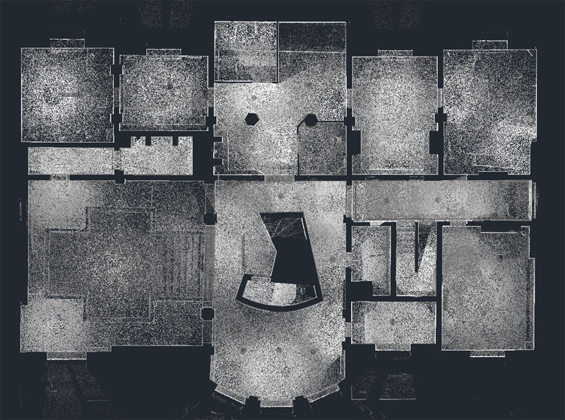
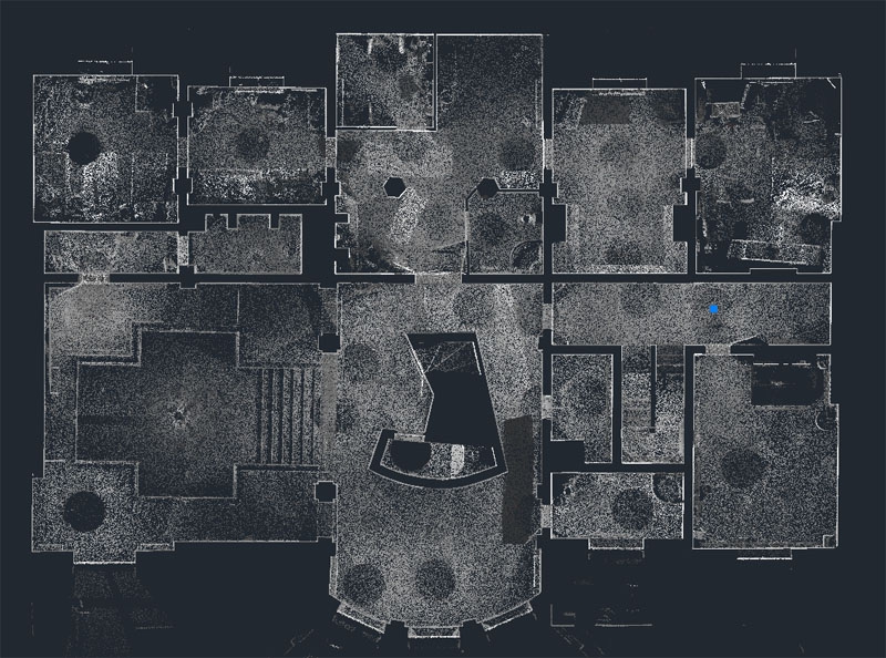
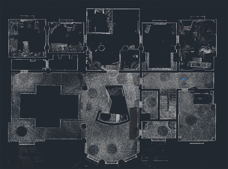
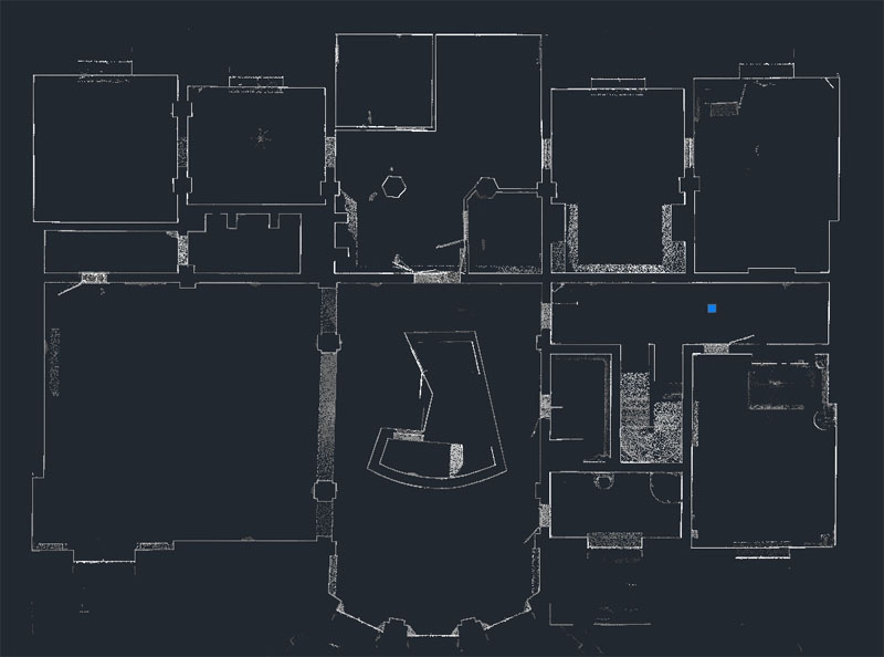
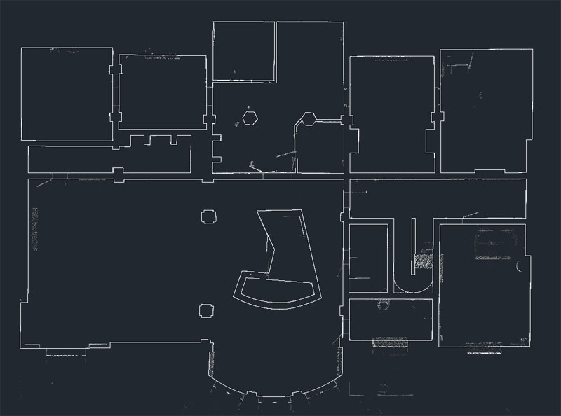
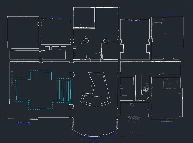
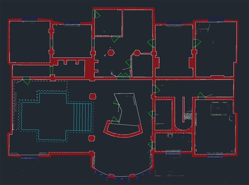
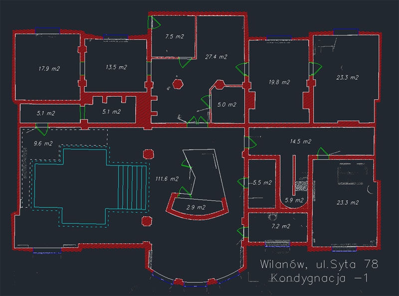
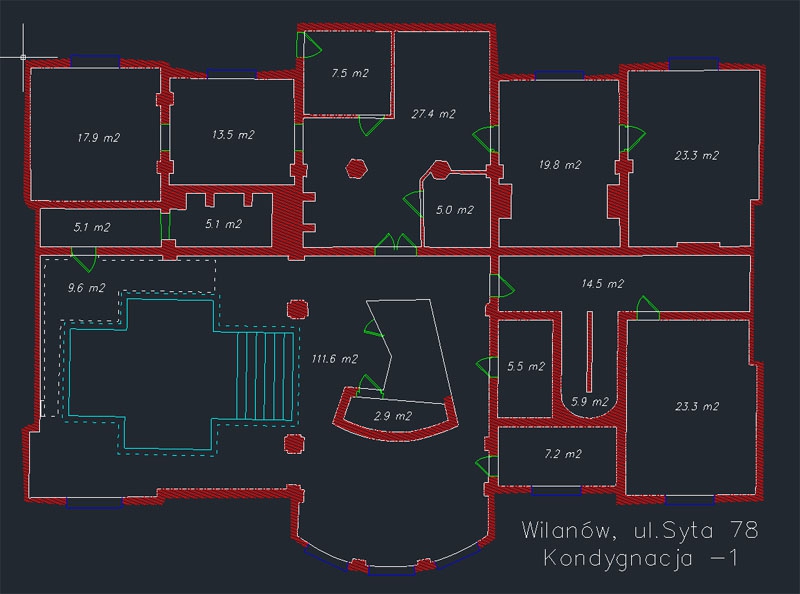
PoThe term Indoor Mapping appears in our heads more and more often and this term relates to maps of building interiors. It is a new trend in mapping that has already developed in the world, but in Poland, it is still in its infancy. Imagine that you have the navigation functionality in your smartphone while being in a large facility such as shopping malls, airports, hotels, universities, schools, museums, hospitals and many other. It is now out of the question that you lose your child in a shopping mall, of course, provided that your child has an appropriate application in his/her mobile phone. However, for it to work fully, not only investors willing to create such maps are necessary, but in the first place engineers who will provide appropriate data. And here is our offer where we propose to collect complete geospatial data. During the first stage, laser scanning is an irreplaceable source. At the post-processing stage, on the other hand, we provide complete data processing in the CAD environment.
What can we offer?
- Point cloud,
- 2D building design,
CAD-based design, including floor, staircase, façade and 2D section plans,
- Textured models of solids,
- Textured models of objects,
- Building cubage measurements.
Caves Mapping
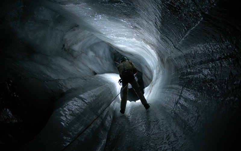
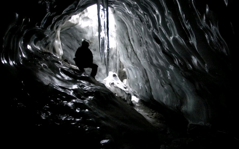
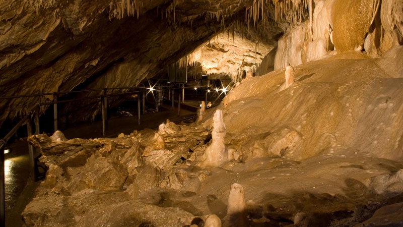
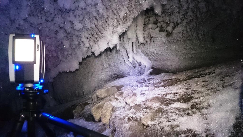
Thanks to modern measurement technologies, such as laser scanning technology, it is now possible to create three-dimensional spatial models of various, complex environments. Examples of such sophisticated examples are caves. These are complex objects not only because of their structures, but additionally, there is a problem with the range of the GPS signal. In such conditions, Personal Mobile System, which perfectly reflects the shape of their interiors, works perfectly. PMS technique allows creating a virtual walk through the interior of these inaccessible to tourists places.
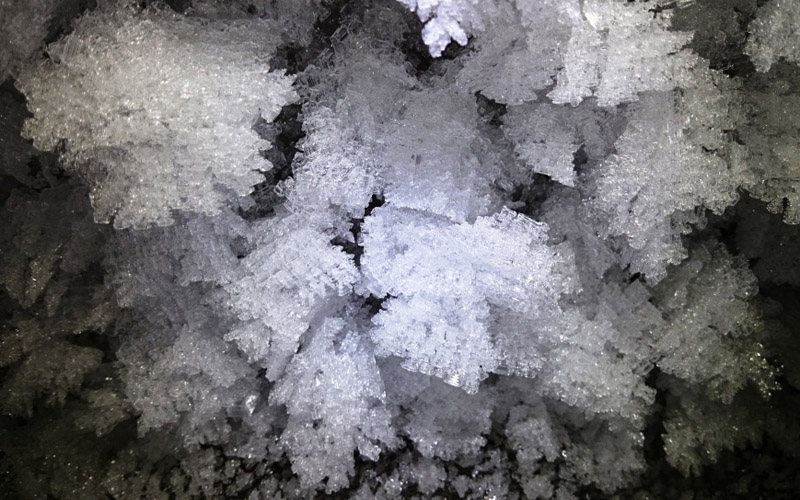
Creating digital models of caves and their comparison in time enables also determining changes which occur in their natural environment. For rock caves, these will be karst processes, for ice caves – processes related to the dynamics of glaciers – drainage glacier systems.
Laser scanning in caves enables:
- creating a digital model of their complex structure,
- providing research material for scientists from various fields, i.e. glaciologists, geologists,
- inventory of stalactites and stalagmites as well as other forms found there,
- creating documentation of the surrounding flora,
- determining the effect of climatic factors,
- logistic design and implementation of communication routes which are necessary in case of making caves available for sightseeing,
- monitoring their interior.
Unconventional Applications of 3D Laser Scanning Technology
Laser scanning has found application in many industries, therefore its traditional applications are most well-known and commonly associated. However, a few unconventional applications that slowly reach a wider audience are worth mentioning:
- CAVES MAPPING
.. and other geometrically complicated environments.
- COMPUTER GAMES
Creating a 3D environment for games.
- ENGINEERING FACILITIES WITH SOPHISTICATED SHAPE
Such facilities include a hydroelectric turbine.
- GEOMATICS IN FORESTS
Determination of selected taxonomy features and parameters of stands.
Visit our profile at Google+
Add us to favorites and keep to date with the last news

